
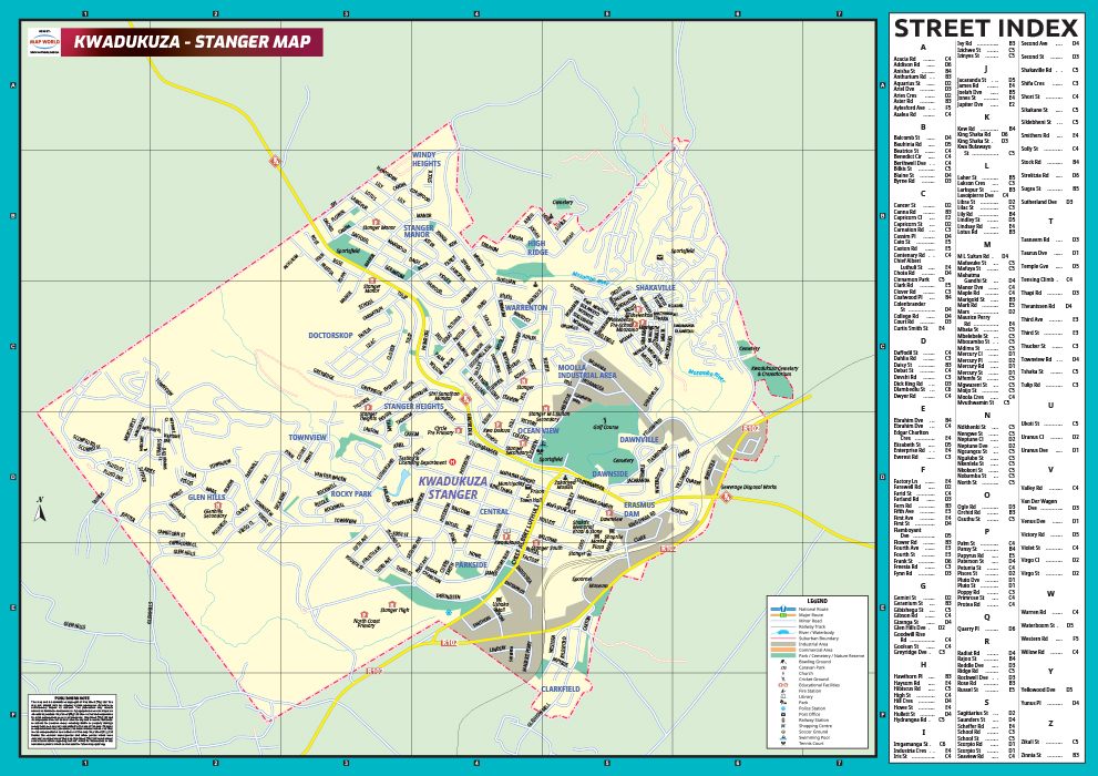
KwaDukuza-Stanger Map
The KwaDukuza-Stanger map is a user friendly wall-map that is printed in full-colour. Areas on this wall-map are classified to indicate commercial business areas, parks, nature reserves, cemeteries, urban areas and industrial areas. The map illustrates major routes, roads, railway lines, schools, shopping centres, municipal services, medical facilities, sports facilities, open green-spaces, suburb and municipal boundaries, and points of interest.
The map covers KwaDukuza-Stanger and its surrounding suburbs which include:
- Dawnside
- Dawnville
- Erasmus Dam
- Glen Hills
- Moolla Industrial Area
- Rocky Park
- Shakaville
- Stanger Manor
- Stanger Heights
- Townview
- Warrenton
- Windy Heights
Map scale: 1:20 000
Format: Full colour printed
Size: 841mm X 594mm